Heritage Trails
Here we list abandoned railway rights of way which have been turned into recreational trails.Stations will continue to be shown in the provincial listings:
Heritage stations in Ontrio
Heritage stations in Quebec
Individual structures such as bridges and culverts will continue to be shown in the provincial listings:
Structures in Ontario
Structures in Quebec
| Ottawa Electric Railway | ||
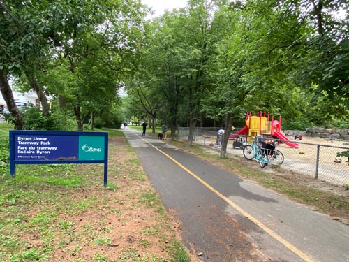
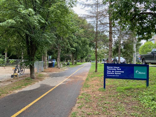
| Ottawa, Byron Tramway Linear Park GPS |  |  |
| Until
Spring 1959 streetcars headed west from Holland to Britannia Park,
parallel to Byron along a private right of way. From Holland to
Richardson Ave and Richmond Road (formerly known as Richardson’s
Crossing) this became a linear park. From there west, it crossed what
is now McKewn Park and the Ambleside development and then it paralleled
the CPR line, on the south side, from the SJAM Parkway to Britannia.
The former CPR ROW is now a bicycle path. A small OTC maintenance
yard was located where McKewn Park is now. The end of line OTC shelter
at Britannia still exists and is now a picnic area. As of December 20, 1985, the 2.5 km strip of land has been officially known as the Byron Tramway Linear Park, although streetcars is Ottawa were never referred to as “trams”. The portion between Cleary Ave in east and Richardson Ave in west was excavated in 2020 for the cut and cover Confederation Line extension LRT tunnel to be opened in 2024 | ||
| Poet's Parkway Britannia | Walking the Parkway - Britannia Beach to Carling Only part on former OER | |
10 September 2020
Home Main Heritage Page Main Trails Page
